
Two Wells Levee
We are constructing a levee to better protect the Two Wells township from flooding, funded by the Australian Government and developer contribution.
On this page: Key facts / Maps / Background / FAQ / Documents
Key facts
- The Two Wells township is near Salt Creek and the Gawler River. In large flood events, Two Wells is affected by floodwaters from Salt Creek, Gawler River and Light River.
- A levee is being constructed around the east and south of Two Wells to protect the township from floodwater that would come from the Salt Creek catchment east of Two Wells.
- The levee is designed to cater for all storms and floods, up to and including a 100-year flood event (also known as a 1 in 100 flood, or 1% annual chance).
- This $2.02 million project is funded by the Australian Government's National Flood Mitigation Infrastructure Program grant and developer contribution.
- Construction of the levee will begin in late 2024 and will be completed by Council.
Maps
Click the image to expand the view.




Background
The Two Wells Stormwater Management Plan 2017 sets out a range of recommended actions to improve stormwater management and flood protection in the township.
It determined that a levee around the east and south of Two Wells would be the most practical solution to improve flood protection for the township, increasing protection for around 182 allotments.
We received a National Flood Mitigation Infrastructure Program grant from the Australian Government and a developer contribution, to cover the planning, design and construction from 2022.
The design for the levee was completed in 2024 and a Development Application was submitted to proceed with the construction phase.
Your questions answered
Most of the levee construction is on Council land, and will not require access to private property. We are working directly with 2 landowners whose property includes the levee and Salt Creek.
Many adjoining properties will benefit from the construction of the levee as they will be better protected from stormwater and flooding.
If you own an adjoining property, you will receive notification a letter from PlanSA when the Development Application is notified.
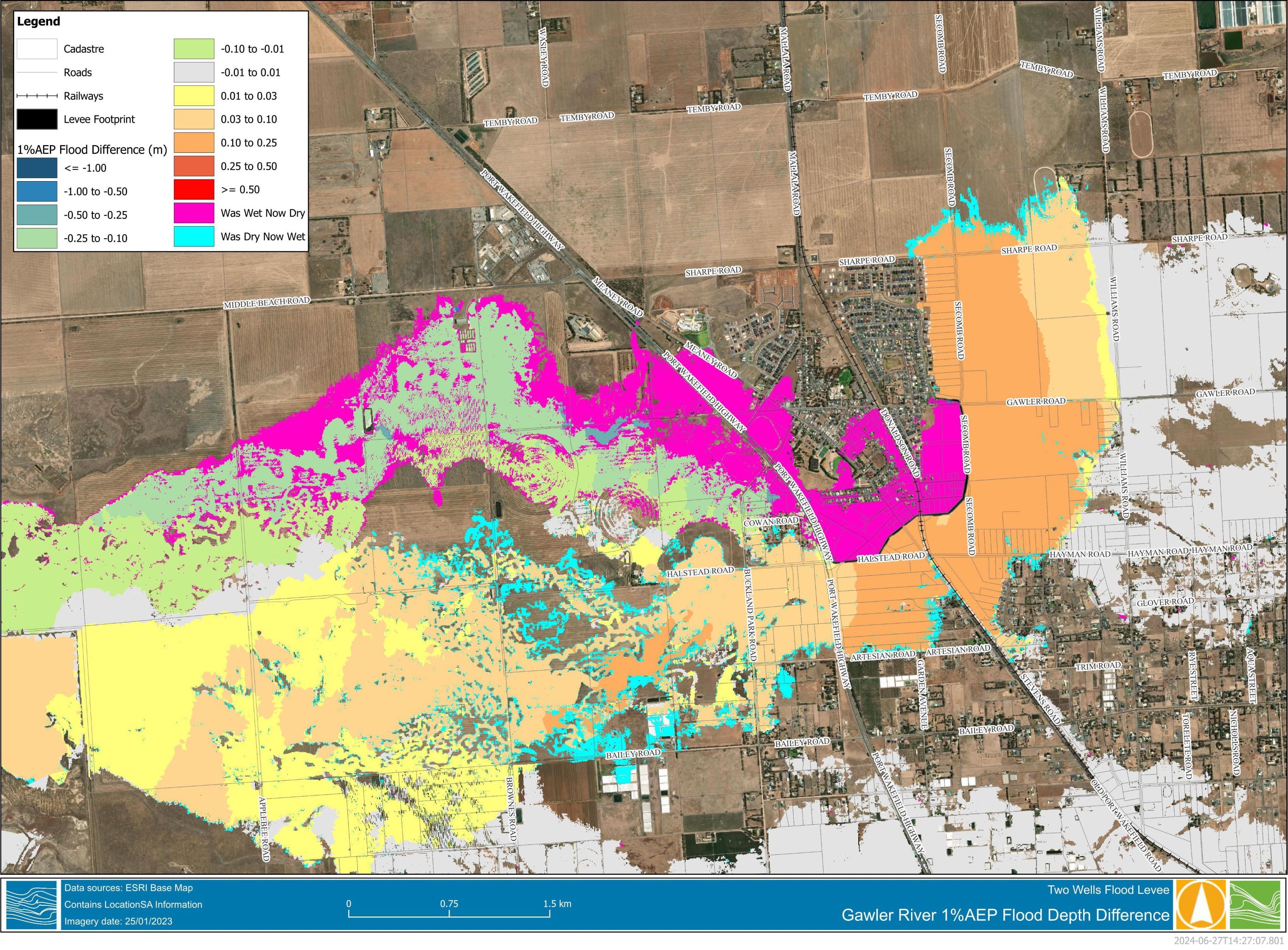
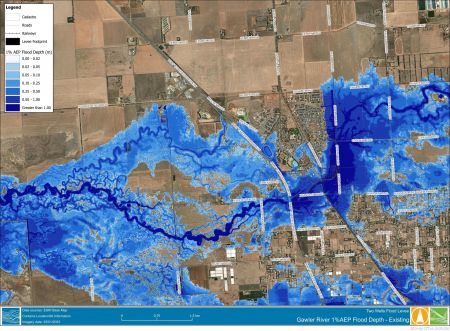
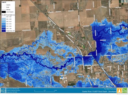
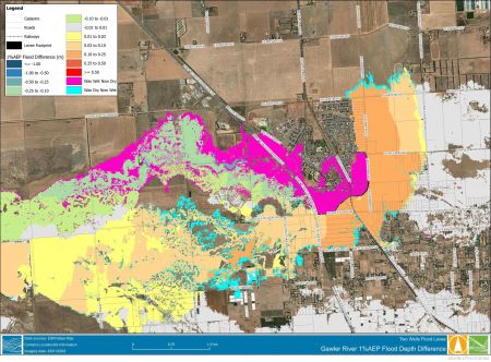
The before and after map shows the difference before and after the levee construction. Areas shown in pink will no longer flood in certain events after the levee is constructed.
It is important to remember that many parts of the Adelaide Plains Council region are at risk of flooding, and households should have a flood emergency plan in place, just like a bushfire emergency plan. The SES website provides simple steps to plan and prepare for floods.
This project will cost $2.02 million and is completely funded by an Australian Government National Flood Mitigation Infrastructure Program grant and developer contribution. There is no cost to Council.
The levee will prevent floodwaters from the Gawler and Light Rivers entering the existing Two Wells township in 100-year flood events. Without the levee, floodwater would enter the township from the direction of the railway culvert adjacent to Gawler Road and along the north of Port Wakefield Road.
Flooding of approximately 182 allotments would be prevented in these scenarios.
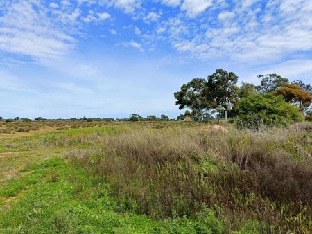
Levees are an embankment built parallel to a waterway or floodplain. The levee in Two Wells will be built with clay and vegetated with dryland grass that will grow in winter and die off in summer.
The Two Wells Stormwater Management Plan considered other options, including the Gawler River Floodplain Management Authority’s investigations into a new dam or increasing an existing dam for the Gawler River. These options were found to be very expensive with long timeframes for implementation.
A levee in Two Wells is considered to be the most cost effective structural solution to prevent damage in the existing township. It is the only measure considered capable of addressing flooding from both the Gawler and Light Rivers.
It is important to recognise that flood mitigation approaches that rely on levees are not the perfect solution , because they require regular maintenance and are designed for a specific level of service. If a levee overflows, flood behaviour can change. But in some situations, like Two Wells, they are the most viable and practical solution to improve the level of flood protection for existing developed areas.
As a consequence of providing improved flood protection to the Two Wells township there may be some minor increase in flood depth outside of the levee and small areas of new flooding may develop. These will only be on the fringe of the township and a field assessment indicated that there is unlikely to be any significant impact on existing dwellings that are not otherwise protected by the levee. No new properties would be subjected to flooding as a result of the levee.